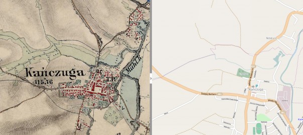
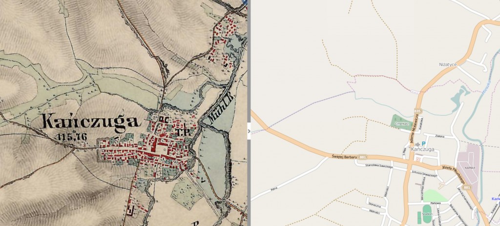
Recently I came across an interesting web site, called Mapire, which displays historical maps of the Hapsburg Empire. The maps currently correspond to three military surveys carried out in the time periods 1763-1787, 1806-1869, and 1869-1887. These periods cover different geopolitical periods, when the areas under control were variously called the Hapsburg Empire, the Austrian Empire, the Austro-Hungarian Empire. The military maps were created at a scale of 1:28,800. What’s really neat about the maps on Mapire, is that they are all synced to current digital maps, so when you zoom in on one of the military maps, it shows on the left side of the window, while the current digital map is shown on the right. An example, for the town of Kańczuga:
Cadastral Maps, another kind of state-created map, were created at a scale of 1:2,880, or ten times the resolution. This site does not yet have Cadastral Maps, although some Cadastral Maps for the Galicia region can be found in the Gesher Galicia Map Room.
You may wish to link to my website as I also point to mapire at my Galicia index here: http://easteurotopo.org/indices/galicia/
Pages are being continually updated.
Regards,
Hap Ponedel